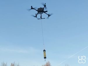
SENSYS MagDrone R4 magnetometer
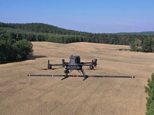
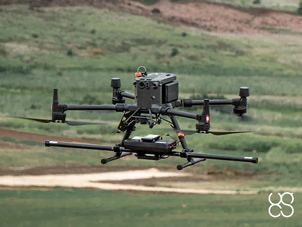
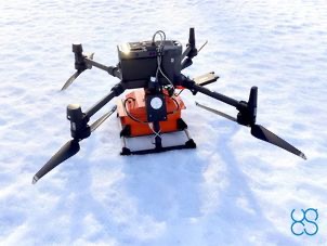
The MagDrone R4 is an ultra light weight magnetometer with 5 triaxial Fluxgates to be attached to any UAV with a 1,5 kg payload.
In opposite to the MagDrone R3, the MagDrone R4 is used for high resolution mapping in order to detect small and compact objects as well as structures in the ground, such as UXO or archaeological features.
Recommended applications:
- Searching for UXO (Unexploded Ordnance)
- Archaeology
- Surveying for any metal objects weighing a few hundred grams or heavier lying underground
SENSYS MagDrone R3 magnetometer
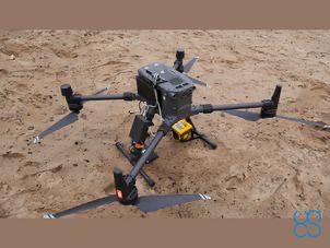
The MagDrone R3 is a ultra portable magnetometer to be attached to any UAV with a minimum payload of 1kg.
Recommended applications:
- Searching for UXO (UneXploded Ordnance)
- Locating buried infrastructure (metal pipes and shielded cables) and power cables under the load
- Archaeology
- Surveying for any metal objects weighing a few hundred grams or heavier lying underground
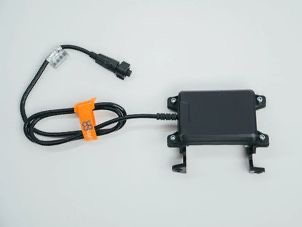
UgCS SkyHub on board computer hardware
UgCS SkyHub is an onboard computer to log geotagged data from various sensors like GPR , altimeter , magnetometer, and methane detector .
True Terrain Following Kit for DJI drones
True Terrain Following kit for DJI drones contains everything necessary to fly DJI drones at extremely low altitudes over terrain with high precision:
True Terrain Following feature for DJI drones
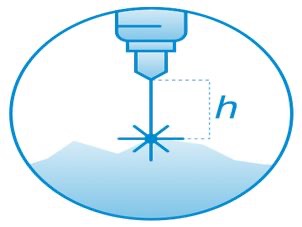
Allows the drone to follow the terrain with very high precision at low altitude using an altimeter sensor - True Terrain Following.
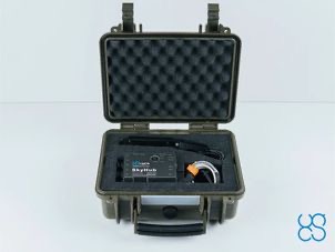
Protective box for UgCS SkyHub and True Terrain Following Kit
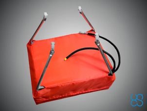
Protective/storage/transportation box for UgCS SkyHub, altimeter and cables.
Obstacle detection radar for DJI M300 RTK drones
Obstacle detection system for DJI M300 RTK drone, includes sensor, mountings and software support.
GPR bundle: Radar Systems Zond Aero 500 GPR
Zond Aero 500 GPR plus all required components and software for use with DJI M300 and M600 Pro drones (drone not included).
GPR bundle: Radar Systems Zond - 12e Drone Aero 500A GPR
Zond-12e Drone 500A GPR plus all required components and software for use with DJI M600 Pro drones (drone not included).
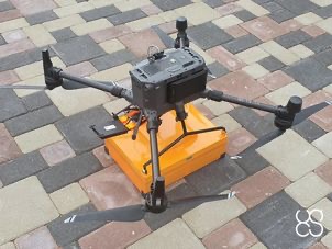
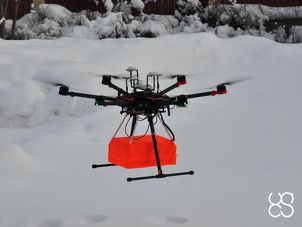
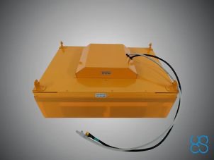
GPR system: Radar Systems Zond Aero 500
Lightweight GPR system, suitable for medium-sized drones like DJI M300 RTK.
GPR system: Radar System Zond Aero 1000
Lightweight GPR system, suitable for medium-sized drones like DJI M300 RTK.
GPR system: Radar System Zond Aero 1000
Includes transportation box and mountings for the DJI M600/M600 Pro drone.
GPR cart for terrestrial surveys for Zond GPR Systems
Compatible with systems:
Zond Aero 500/1000
Zond-12e Drone 500A/1000A GPR
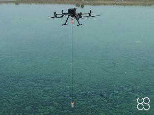
Echo sounder combo: ECT 400S single-frequency
Echo sounder combo: ECT 400S single-frequency
EchoLogger ECT 400S single-frequency echo-sounder plus all required components and software for use with DJI M300/M210/M600 drones (drone not included).
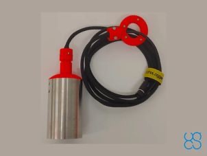
EchoLogger ECT 400S echo sounder
EchoLogger ECT 400S echo sounder with tilt and temperature sensor, harness, housing, and mountings for the drone.
HS Code: 90158040 (hydrographic instruments)
Comes with an RS232 interface and connector for UgCS SkyHub.
Cable length 2.5m.
Laser Falcon methane detector
Laser Falcon is sensitive only to methane, so no false readings of other gases are possible. It is a class 3R eye-safe laser.
GPR system: Radar Systems Zond Aero LF (low frequency)
Extra-lightweight GPR system, suitable for medium-sized drones like DJI M300 RTK.
Comes with 3x sets of dipoles for the 300, 150, and 75Mhz.
Water sampler
Ruttner water sampler, 1L
Includes:
- 1L water sampler
- internal thermometer, temperature range -10 C° to +50 C°
- 4m line
- drop messenger
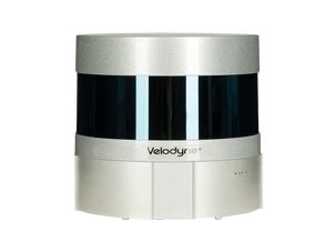
TOPODRONE LiDAR ULTRA
TOPODRONE LIDAR kit for DJI Matrice 300 RTK/200/210 V2 based on Velodyne Puck Ultra sensor, high-precision IMU and L1/L2 GNSS receiver is most cost-effective UAV LIDAR system at the market with working range up to 200 m, can provide high-accuracy point cloud.
TOPODRONE LiDAR HI-RES
TOPODRONE LIDAR kit for DJI Matrice 300 RTK/200/210V2 based on Velodyne Puck Lite sensor, high-precision IMU and L1/L2 GNSS receiver is most cost-effective UAV LIDAR system at the market with working range up to 100 m, can provide high-accuracy point cloud.
